|
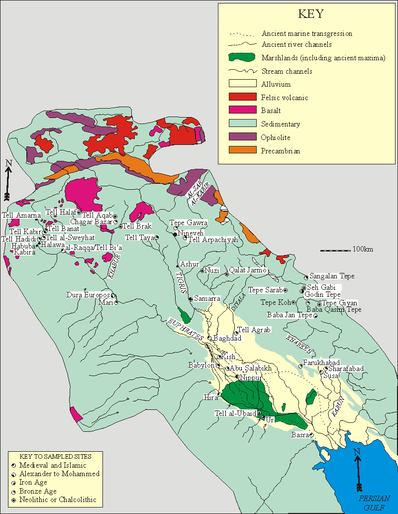
Figure 3.15. Map showing geology, pattern of drainage, and major settlements of the Tigris-Euphrates basin for the 8th-13th centuries AD, and pre-Islamic sites from which pottery has been subjected to petrographic analysis by the author. For sources of information see text.
|